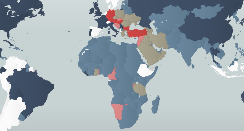
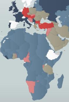
Image This interactive map shows you which countries and territories were involved in the Great War and how they were aligned. Resource Links Explore Online